KINGSTON, R.I. — Nov. 2, 2026 — The National Oceanic and Atmospheric Administration Ocean Exploration Cooperative Institute, based at the URI Narragansett Bay Campus, hosted an underwater systems and autonomy showcase with two blue technology companies, Sonardyne and Voyis, in early October.
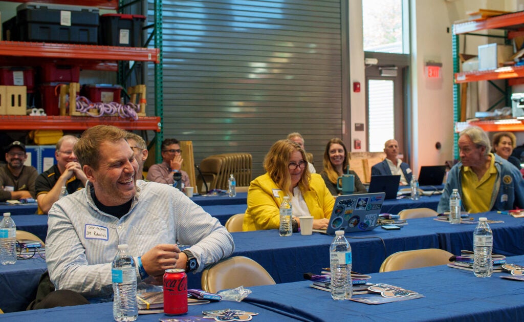
The two-day event brought together oceanographers, ocean engineers, industry experts, and other participants to share knowledge about advances in subsea technology and explore new possibilities for ocean exploration and monitoring.
Sonardyne develops underwater technology for tracking, navigation, communication, and subsea positioning. Voyis designs and manufactures high-resolution underwater laser scanners, optical cameras, and stereo vision systems for subsea vehicles. By bringing these companies together with researchers at URI, the showcase highlighted how their devices are supporting ocean science and enabling new approaches to underwater observation.
“Federal, academic, and industrial collaborators each bring specific advantages to the ocean exploration and science enterprise, but also face unique challenges,” said Adam Soule, executive director of NOAA OECI. “By collaborating, these groups can align their missions, technologies, and access to the ocean to overcome challenges they might struggle to address on their own.”
The showcase provided a forum for sharing field experience, demonstrating new capabilities, and exploring how advances in underwater systems can support future ocean exploration. For industry partners, these exchanges also offer valuable insight into researchers’ needs and the challenges they face in the field.
“Bringing the ocean research community together in one place is invaluable,” said Michelle Barnett, ocean science business development manager at Sonardyne. “For Sonardyne and Voyis, being part of this community gives us a much deeper understanding of how our systems support research, and the challenges researchers face in the field. That insight informs how we develop our technologies and how we configure them for scientific work.”

Sustaining observations in deep sea
The first day featured talks from researchers using Sonardyne and Voyis technologies in the field, demonstrating how these systems are advancing their work.
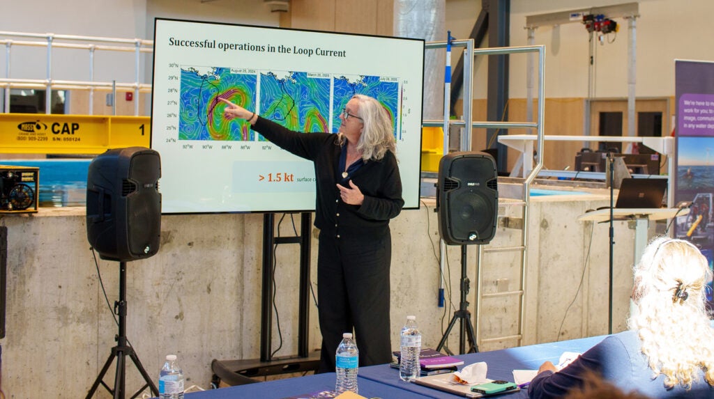
URI Graduate School of Oceanography Professor Kathleen Donohue shared how her team has used Sonardyne instruments to collect and transmit data from the Loop Current, where deployments around the Sigsbee Escarpment and Mississippi Fan span depths of approximately 1,800 to 3,200 meters.
The URI group deployed a suite of bottom-mounted instruments including URI CPIES and Sonardyne CPIES and Origin 65 instruments. Seatrak’s unmanned surface vehicle acoustically harvested data while maintaining position in the strong Loop Current’s surface currents.
“Together, this system provides scientists with the opportunity to collect near-real-time deep ocean current observations in regions previously inaccessible to conventional observational strategies,” shared Donohue.
Improving autonomous seafloor observations
Andrew Davies, a jointly appointed professor at GSO and the URI College of the Environment and Life Sciences, designed and constructed the Autonomous Lander for Biological Experiments (ALBEX), a recoverable platform that descends to the seafloor and collects environmental data in locations that other instruments may not easily reach.
Deploying and recovering these instruments presents several challenges: landers can drift as they descend and ship time and weather can limit deployment opportunities.
Davies described the latest redesign, ALBEX 2.0, which features a lighter, more adaptable platform, updated sensor packages, and a simplified loading process. A key improvement is its release system, which incorporates Sonardyne’s 6G technology to support more precise and reliable recovery.
Documenting shipwrecks with high-res imaging
Jason Fahy, associate director of NOAA OECI, highlighted the institute’s support for NOAA’s Office of National Marine Sanctuaries. In 2025, a student-led team used URI’s remotely operated vehicle Rhody, to document 17 shipwrecks in Lake Ontario.
The team conducted ultra-high-resolution surveys to help NOAA identify, document, and preserve these historic sites. A key component of Rhody’s imaging system is the Voyis Discovery Stereo Camera, which allowed the OECI to capture synchronized, high-resolution images. By combining thousands of those images, researchers produced photorealistic models with centimeter-level detail, creating valuable records of these underwater sites for future study and preservation.
Putting technology to the test
URI’s Narragansett Bay Campus provided an ideal setting for the showcase’s second day of in-water demonstrations.
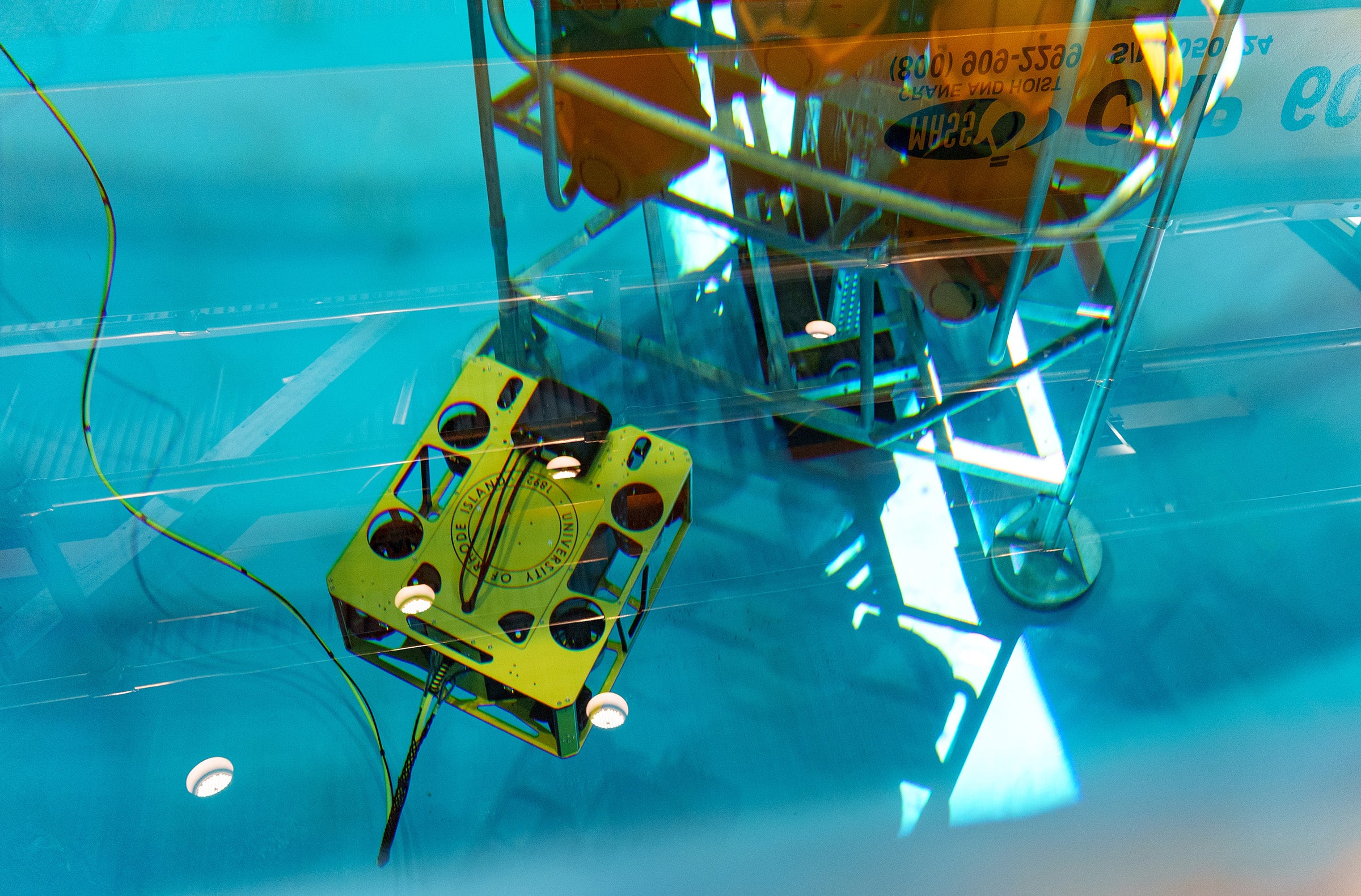
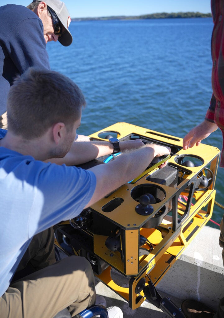
At the new Ocean Robotics Laboratory, ALBEX was submerged into the test tank while URI ocean engineers demonstrated URI’s remotely operated vehicle’s accessibility, mobility, and ability to collect ultra-high-resolution imagery. Another group got a closer look at how underwater systems operate in practice when Rhody was launched from the campus pier.
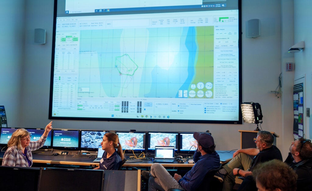
Meanwhile, some participants boarded GSO’s new research vessel, R/V Warfish, for an on-water demonstration of underwater technology, while others followed the operation remotely from GSO’s Inner Space Center’s mission control room. A REMUS autonomous underwater vehicle, equipped with Sonardyne acoustic tracking and positioning sensors, was deployed in Narragansett Bay to demonstrate how these systems support underwater navigation, tracking, and communication. Because the autonomous vehicle often operates beyond GPS range for hours or days, they rely on specialized acoustic and inertial systems to determine their position and relay data to surface crews.
“Demonstrating in person, with a working kit in the water, either from the RV Warfish or at URI’s impressive facilities, takes operations from theory to reality,” said Barnett of Sonardyne. “Hands-on time lets researchers see what our technology can do for their own work, and their feedback helps shape what we do next.”
This story was written by Mackensie duPont Crowley, digital communications coordinator at URI’s Graduate School of Oceanography.